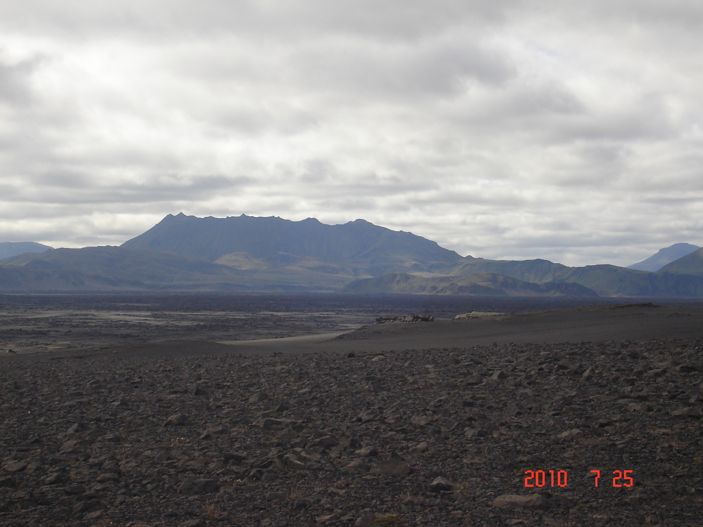
Day 1, July 25th – Highlands of Iceland
Noboby can claim they have visited Iceland until they have travelling around/crossed the Highlands of Iceland.
The Highlands cover most of the interior of Iceland. They are situated above 400–500 metres and are mostly an uninhabitable volcanic desert unavailable for plant growth, which results largely in a surface of grey, black or brown earth, lava and volcanic ashes. A few oasis-like areas, such as Herðubreiðarlindir near Askja, are found only in proximity to rivers. Icelanders categorise the Highlands as:
•"Háls", meaning a broad mountain ridge between valleys, such as the one near Langavatn north of Borgarnes; or
•Heiði", meaning the real highlands, such as those alongside the Sprengisandur road. Most of the numerous glaciers, such as Vatnajökull, Langjökull and Hofsjökull, are also part of the Icelandic Highlands. Vegetation is only found on the shores of the glacier rivers. Some of the most interesting parts of Iceland with volcanic activity are to be found in the Highlands, such as Landmannalaugar and the region around Askja and Herðubreið. For the same reasons they ranked high on our list of places to be seen.
The Highlands can only be crossed during the Icelandic summer (June to August). For the rest of the year the highland roads are closed. The best known highland roads are Kaldidalur, Kjölur and Sprengisandur. Most highland roads require four wheel drive vehicles, because it is necessary to ford rivers. Off-road driving ("road" in this context meaning tracks that are already present) is forbidden in the Highlands when they are free of snow, to protect the vegetation.
Kjölur is 600-700 m high mountain pass in the highlands of Iceland, between the Langjökull and Hofsjökull glaciers.