2012 September, Iceland – Laki
 Due to Frida’s birthday, our annual visit to discover the “outback of Iceland” did not take place until the last week of September.
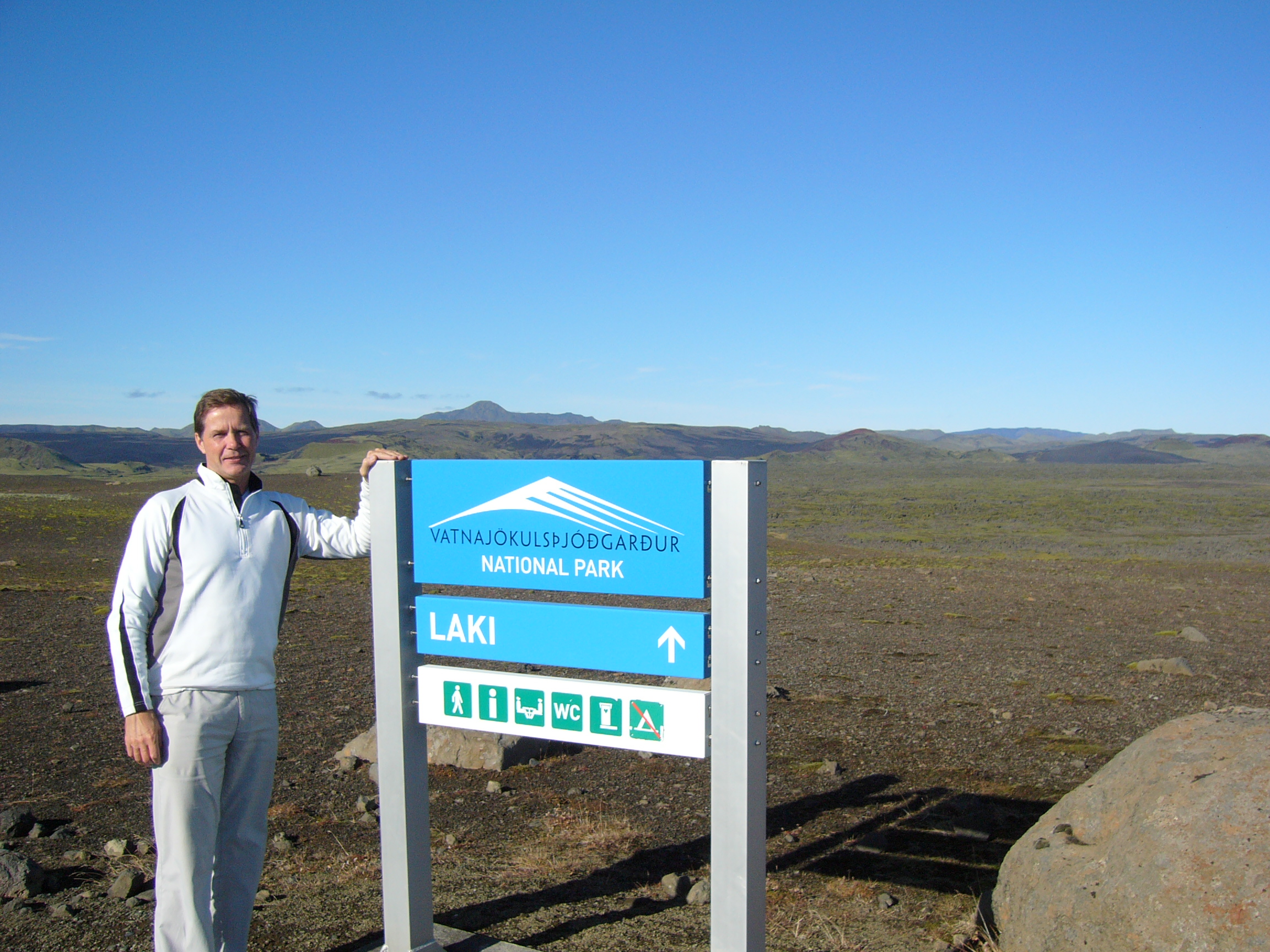
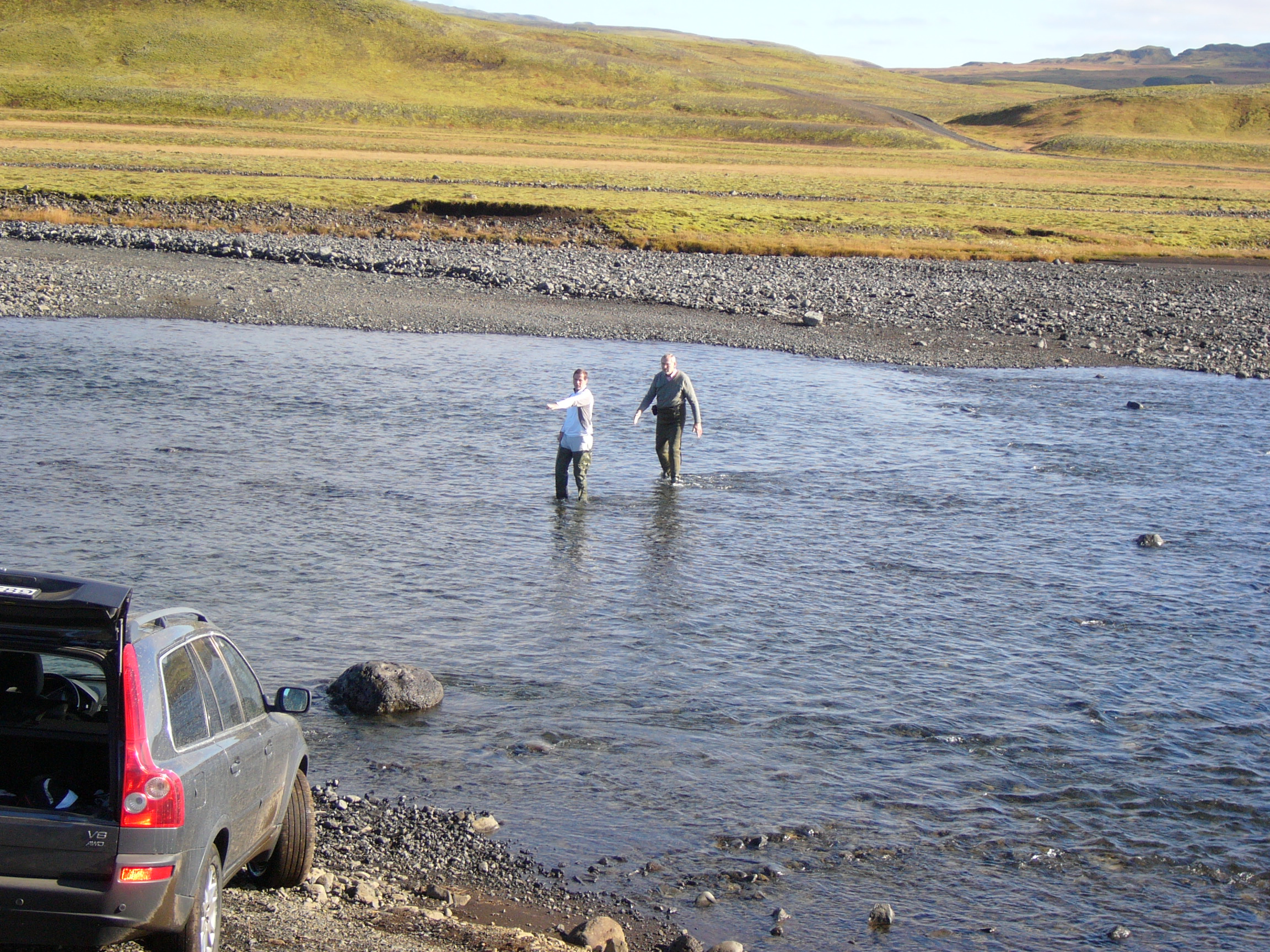
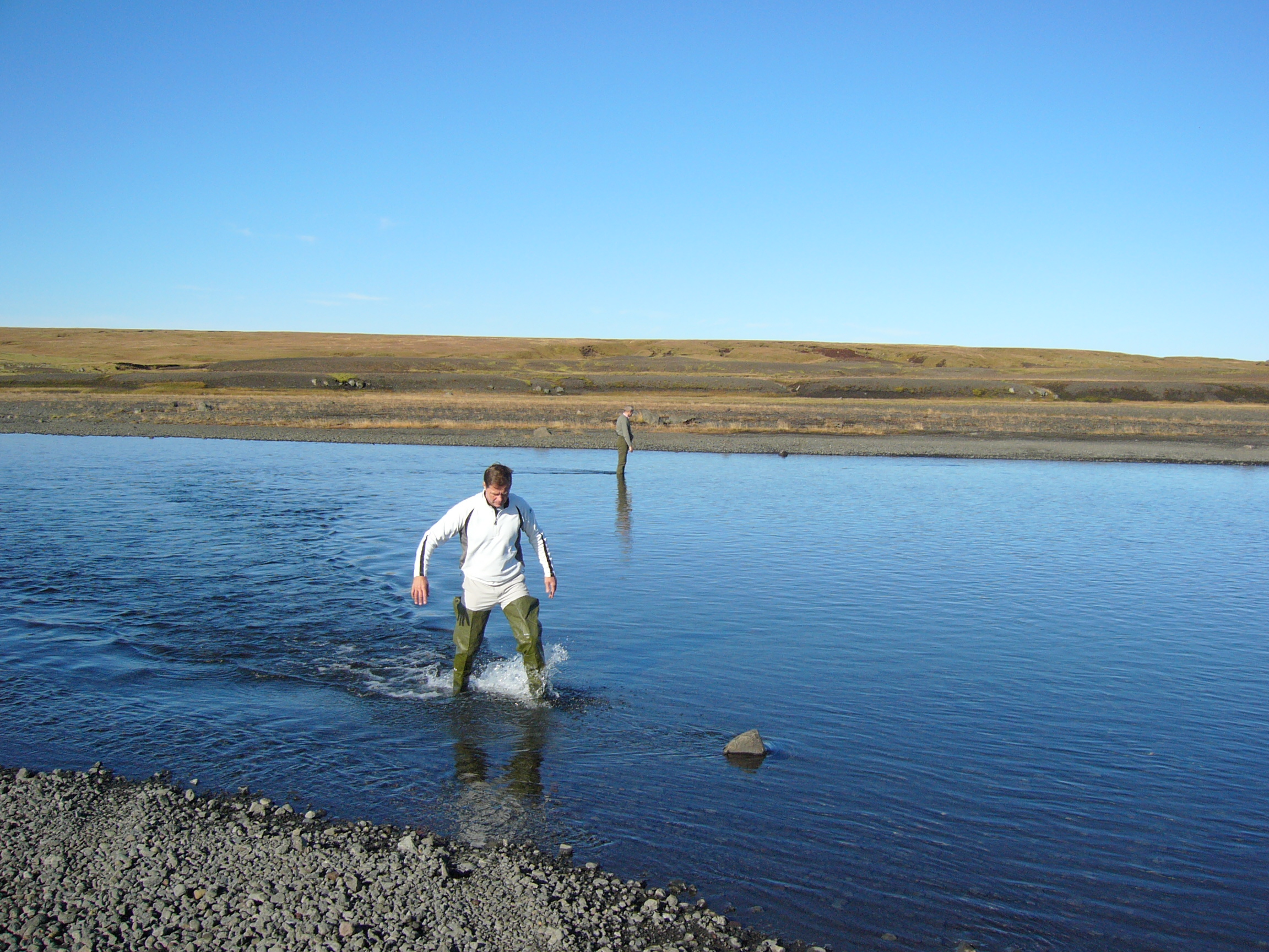
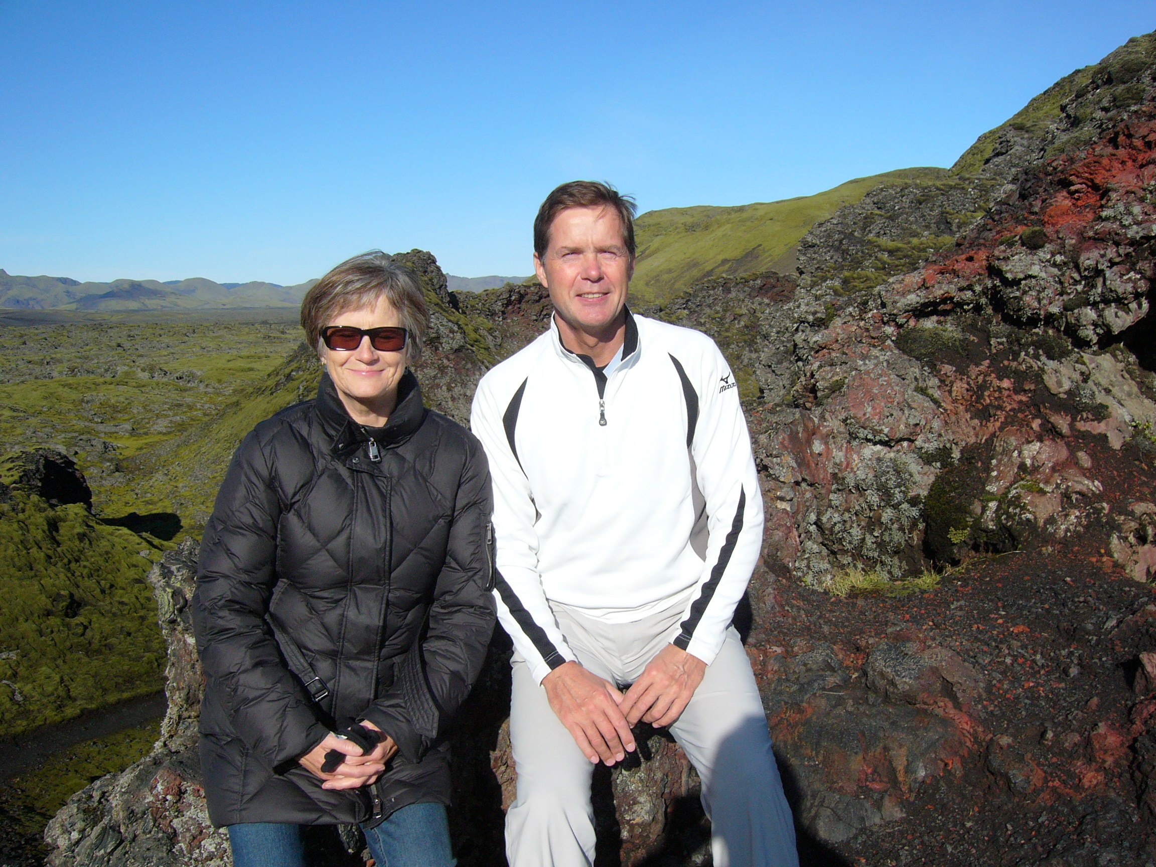
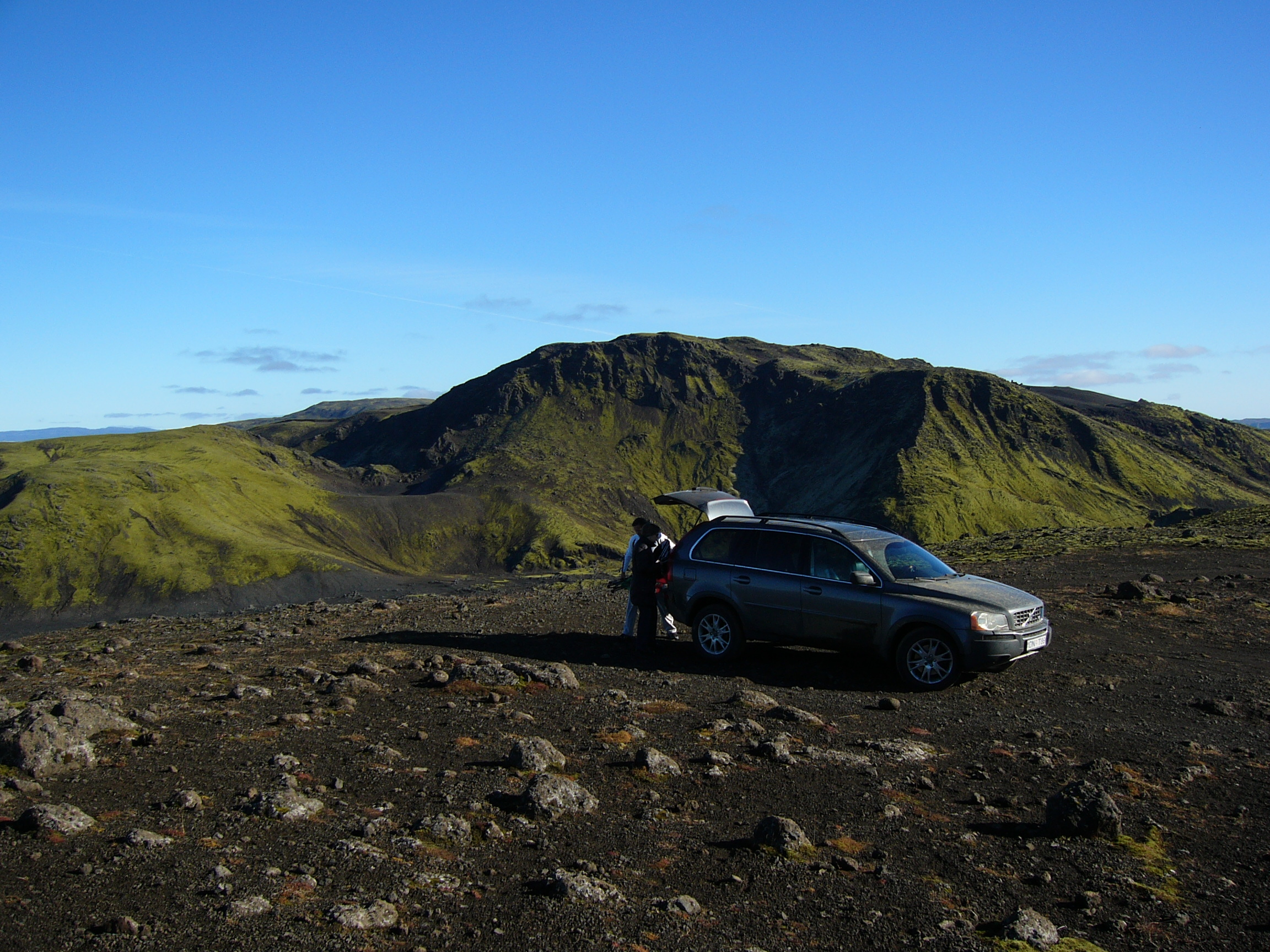
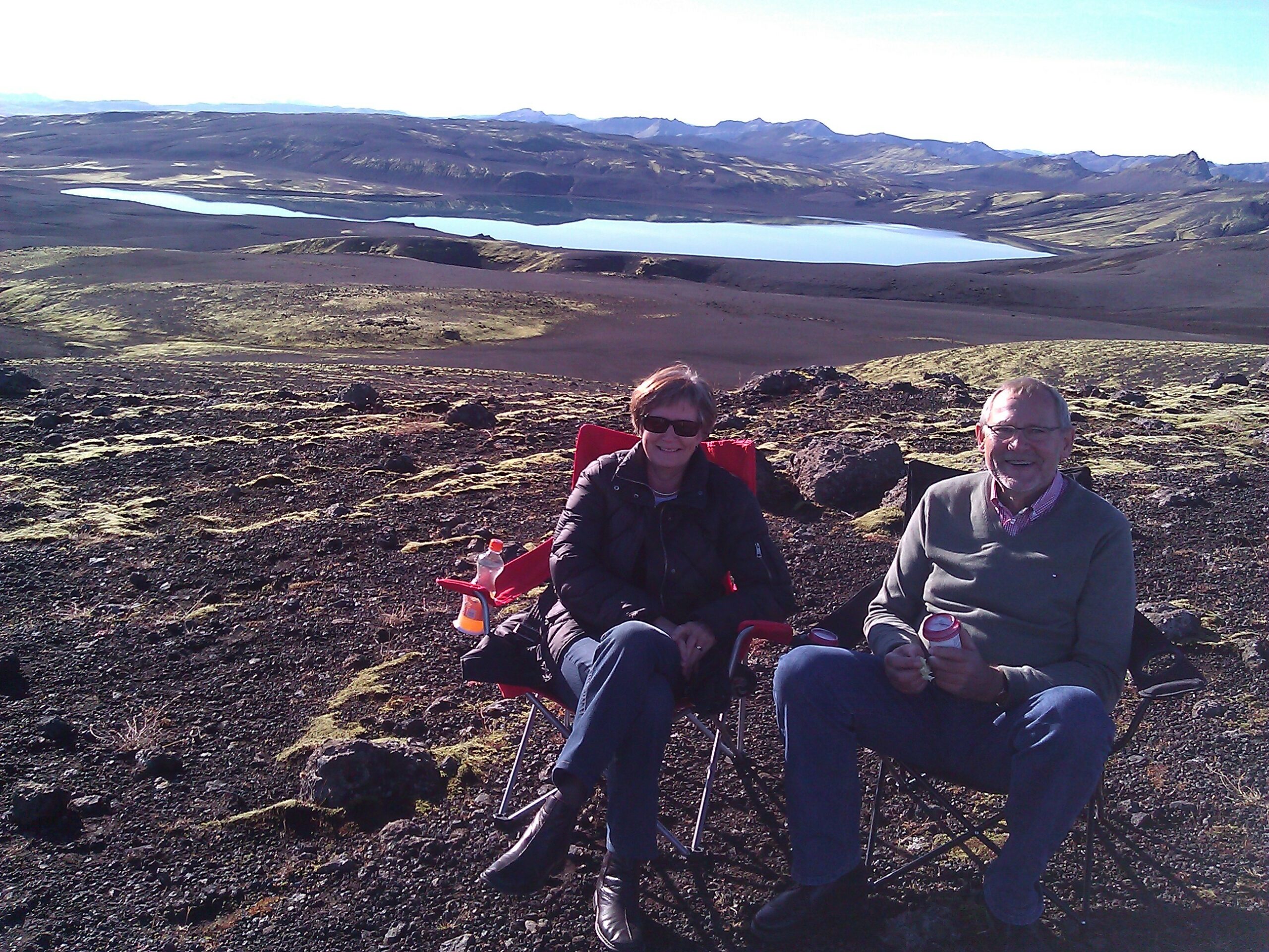
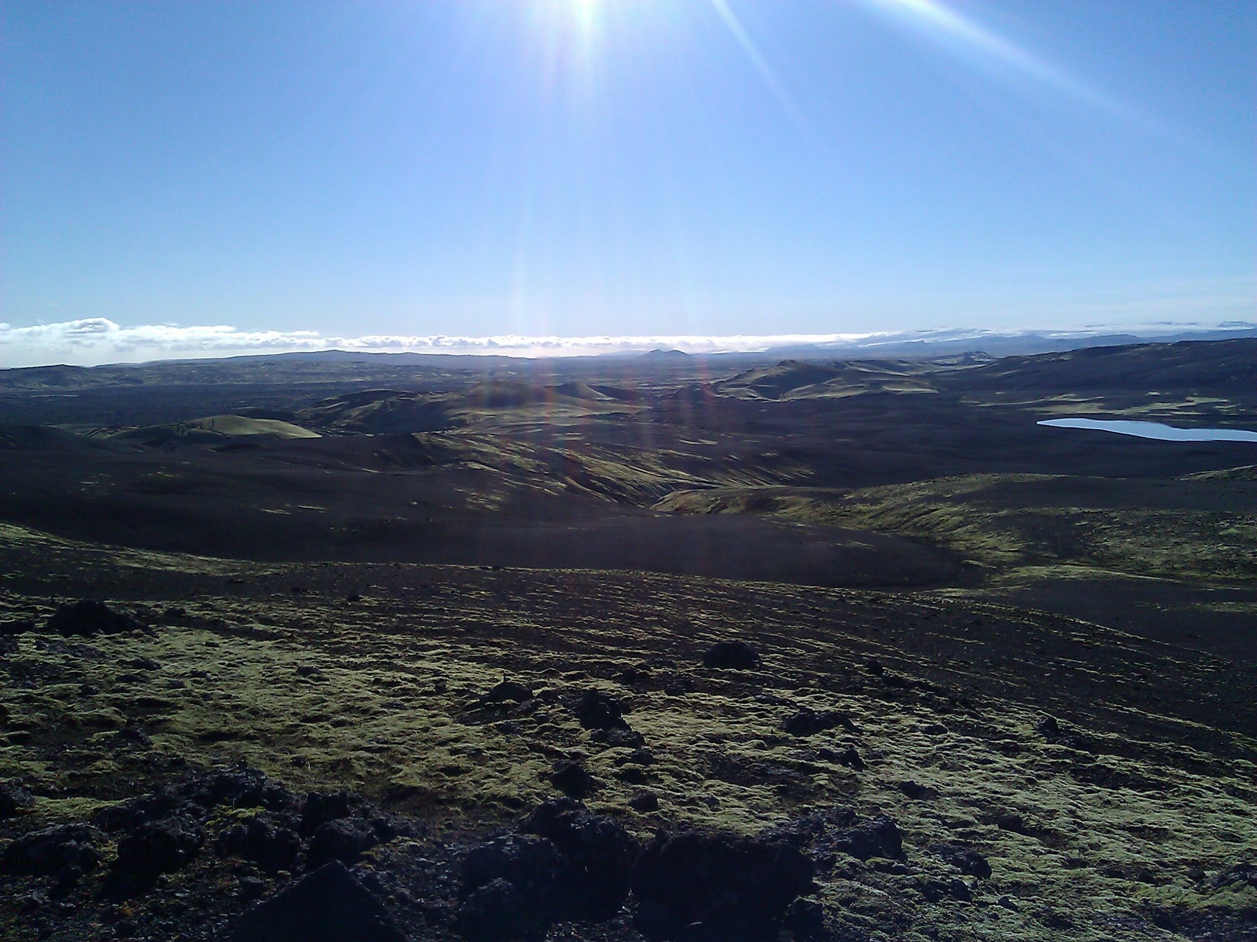
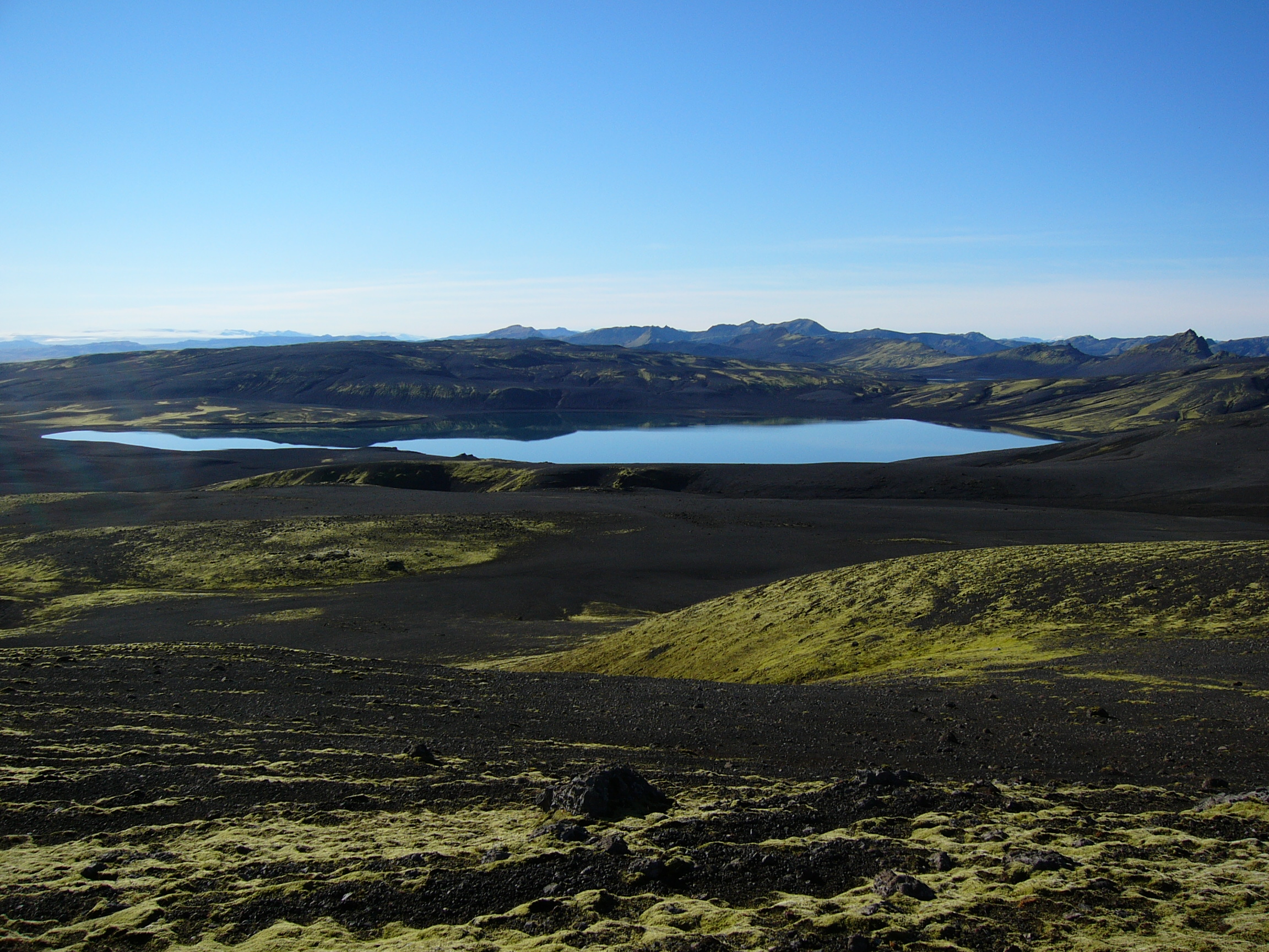
Autumn colors were still present, but the weather was bad with one exception: Tuesday the 25th. Although Reykjavík early in the morning was covered in fog, the weather forcast was sunshine with no wind. Markús took the day off, and based upon previous experiences (Lindaá) we brought two pairs of waders to explore the rivers before crossing. Our destination this year was Laki, and as can be seen from the pictures, we had a splendid day which we never will forget.
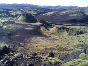
Laki or Lakagígar (Craters of Laki) is a volcanic fissure in the south of Iceland, not far from the canyon of Eldgjá and the small village Kirkjubæjarklaustur. Lakagígar is the correct name, as Laki mountain itself did not erupt, but fissures opened up on each side of it. Lakagígar is part of a volcanic system centered on the Grímsvötn volcano and including the Þórðarhyrna volcano. It lies between the glaciers of Mýrdalsjökull and Vatnajökull, in an area of fissures that run in a south-west to north-east direction.
The system erupted over an eight-month period between 1783 and 1784 from the Laki fissure and the adjoining Grímsvötn volcano, pouring out an estimated 14 km3 of basalt lava and clouds of poisonous hydrofluoric acid and sulfur dioxide compounds that killed over 50% of Iceland's livestock population, leading to a famine that killed approximately 25% of the island's human population. The Laki eruption and its aftermath caused a drop in global temperatures, as sulfur dioxide was spewed into the Northern Hemisphere. This caused crop failures in Europe and may have caused droughts in India. The eruption has been estimated to have killed over six million people globally, making the eruption the deadliest in historical times.