Visit to the Westfjords, Iceland, September 2011
 We (Markús, Hafdís, Jöri, Björg, Ulrik, Unnur and Magne) took Road 60 along the eastern and northern coastal line of Breiðufjörður (Barðaströnd).
After having crossed Vatnsdalsá we went due north crossing Dynjandiheiði to Arnarfjörður and subsequently Hrafnseyrarheiði to Þingeyri and Dýrafjörður. From there we crossed Glemlufallsheiðdi to Önundarfjörður, where we visited Flateyri, before we headed for Ísafjörður. After having spent some time there Markús, Ulrik, Björg and Magne went on to Bolungarvík to climb the mountian Bolafjall to experience the panoramic view towards the Atlantic and the northern most noninhabited parts of the peninsula.
We stayed overnight in Súðavík, before we returned to Reykajvík following the coastal line of Ísafjarðadjúp with a view to Drangajökul, before reaching route 61 towards Hólmavík.
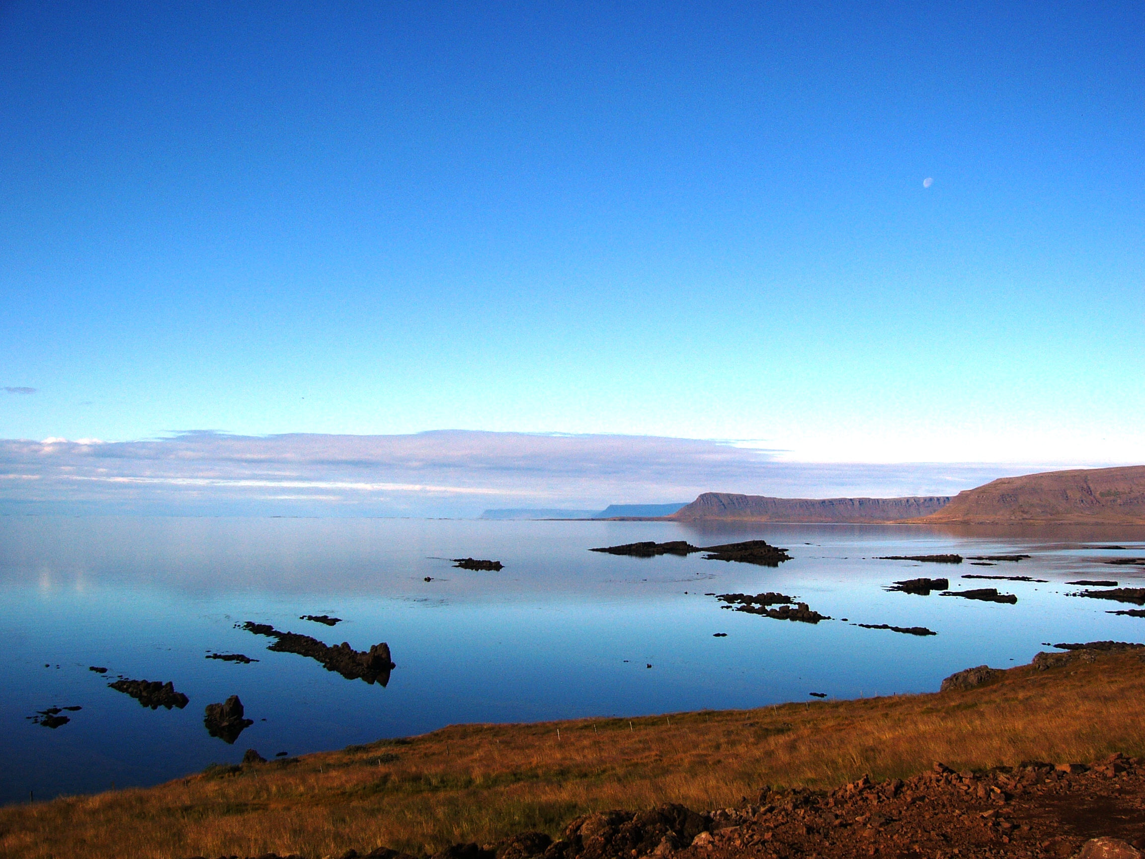
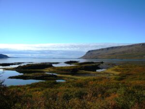
The Westfjords are connected to the rest of Iceland by a 7 km wide isthmus between Gilsfjörður and Bitrufjörður. The Westfjords are very mountainous and the coastline is indented by dozens of fjords surrounded by steep hills. The cliffs at Látrabjarg comprise the longest bird cliff in the northern Atlantic Ocean and are at the westernmost point in Iceland. The Drangajökull glacier is located to the north of the peninsula and is the fifth largest of the country.
Good natural harbors in many of the fjords and their proximity to fishing areas are vital for the local economy. The Westfjords are very sparsely populated (some 7.400). The capital and by far the largest town is Ísafjörður. The Westfjords region has sometimes been called “the most famous, unknown place in Iceland”. It is, the nature that attracts visitors. It is untouched and almost uninhabited and the cliffs and valleys are packed with birds.