Day 3, July 28th – Ásbyrgi
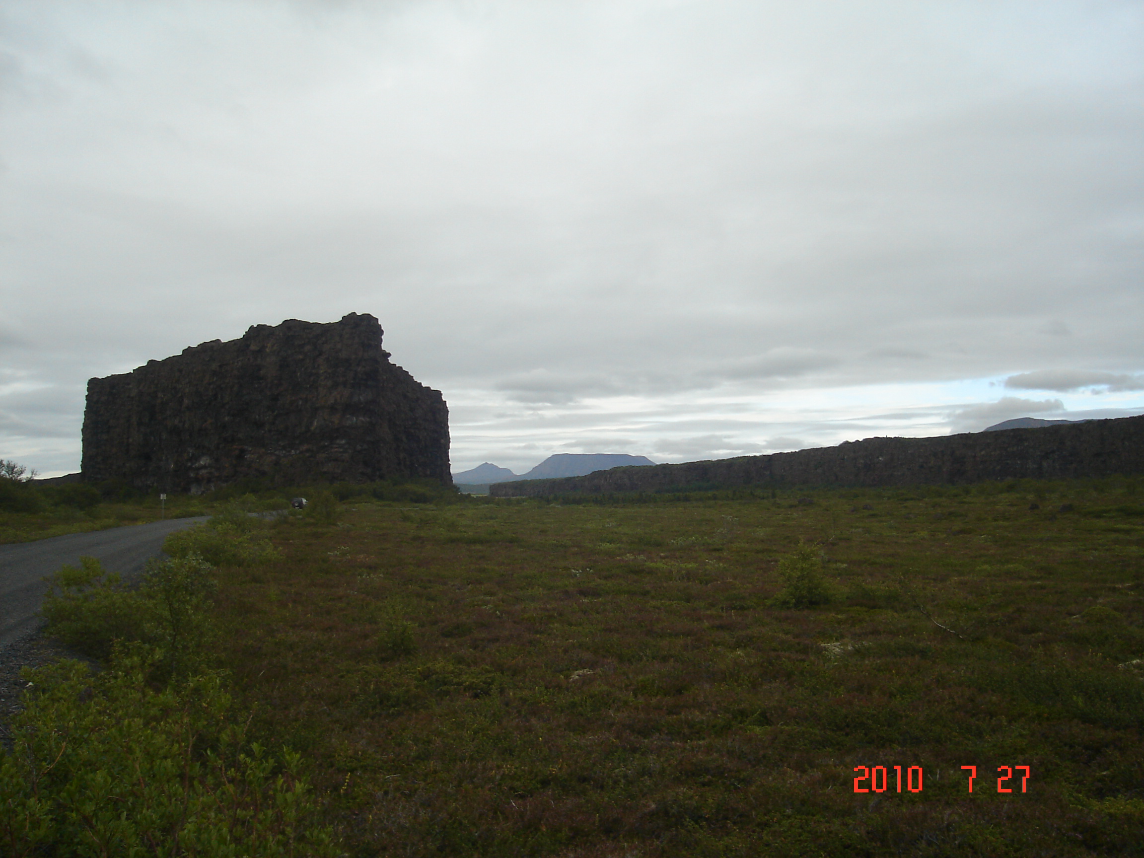
The rock "island" in the centre of Ásbyrgi canyon 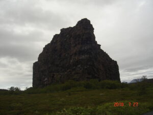
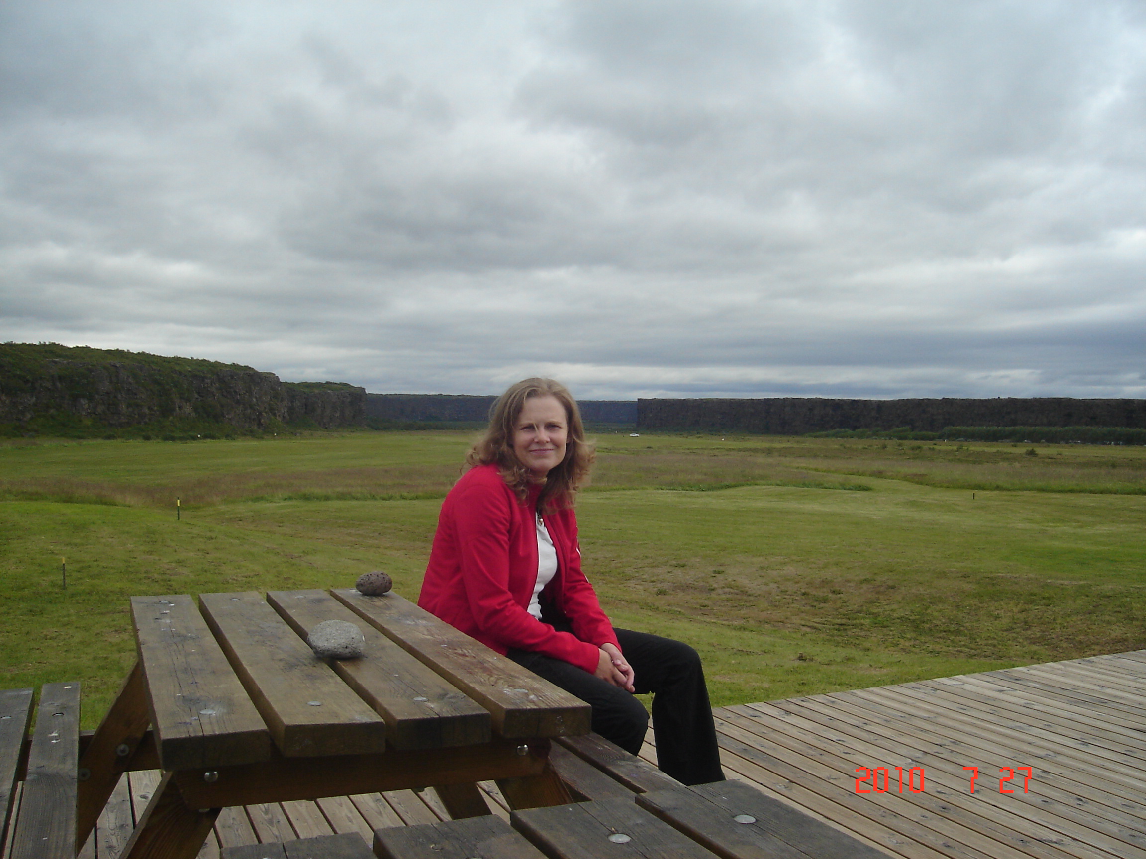
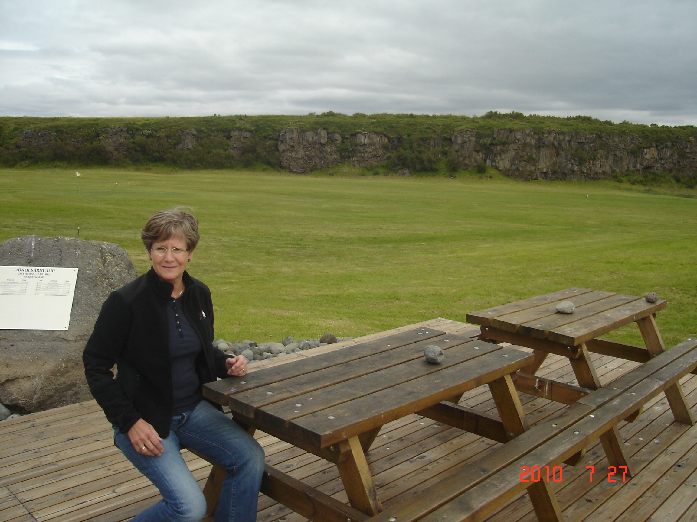
Ásbyrgi canyon lies in the north of Iceland, about two hours' drive to the east from Akureyri. The horseshoe-shaped depression is part of the Jökulsárgljúfur National Park and measures approximately 3.5 km in length and 1.1 km across. For more than half of its length, the canyon is divided through the middle by a distinctive rock formation 25 meters high called Eyjan ("the Island"), from which hikers may enjoy spectacular views.
The canyon's steep sides are formed by cliffs up to 100 metres in height. Down in the canyon, visitors walk through a woodland of birch and willow. Between 1947 and 1977, a number of foreign tree species were introduced, including fir, larch and pine. The small lake Botnstjörn is home to a variety of waterfowl species.
Ásbyrgi was most likely formed by catastrophic glacial flooding of the river Jökulsá á Fjöllum after the last Ice Age, first 8-10,000 years ago, and then again some 3,000 years ago. The river has since changed its course and now runs about 2 km to the east. The legend explains the unusual shape of the canyon differently. Nicknamed Sleipnir's footprint, it is said that the canyon was formed when Odin's eight-legged horse, Sleipnir, touched one of its feet to the ground here. Legend also relates that the canyon is the capital city of the "hidden people" (huldufólk), who live in cracks within the surrounding cliffs.