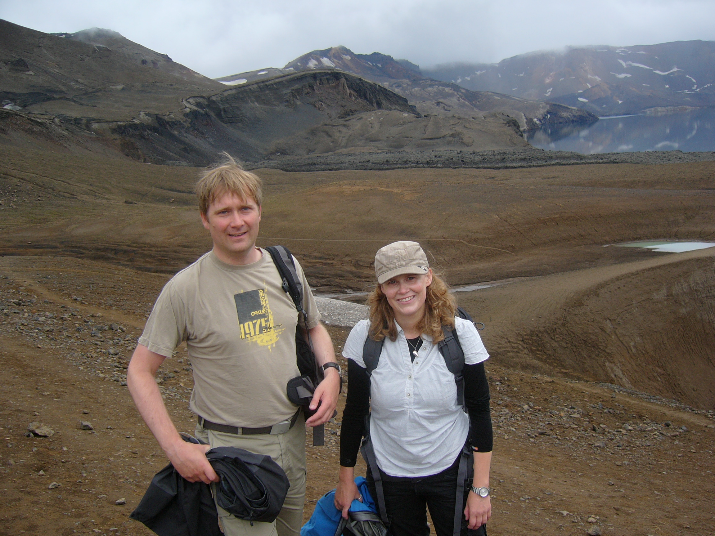
Day 4, July 28th – Askja – Öskjuvatn – Víti
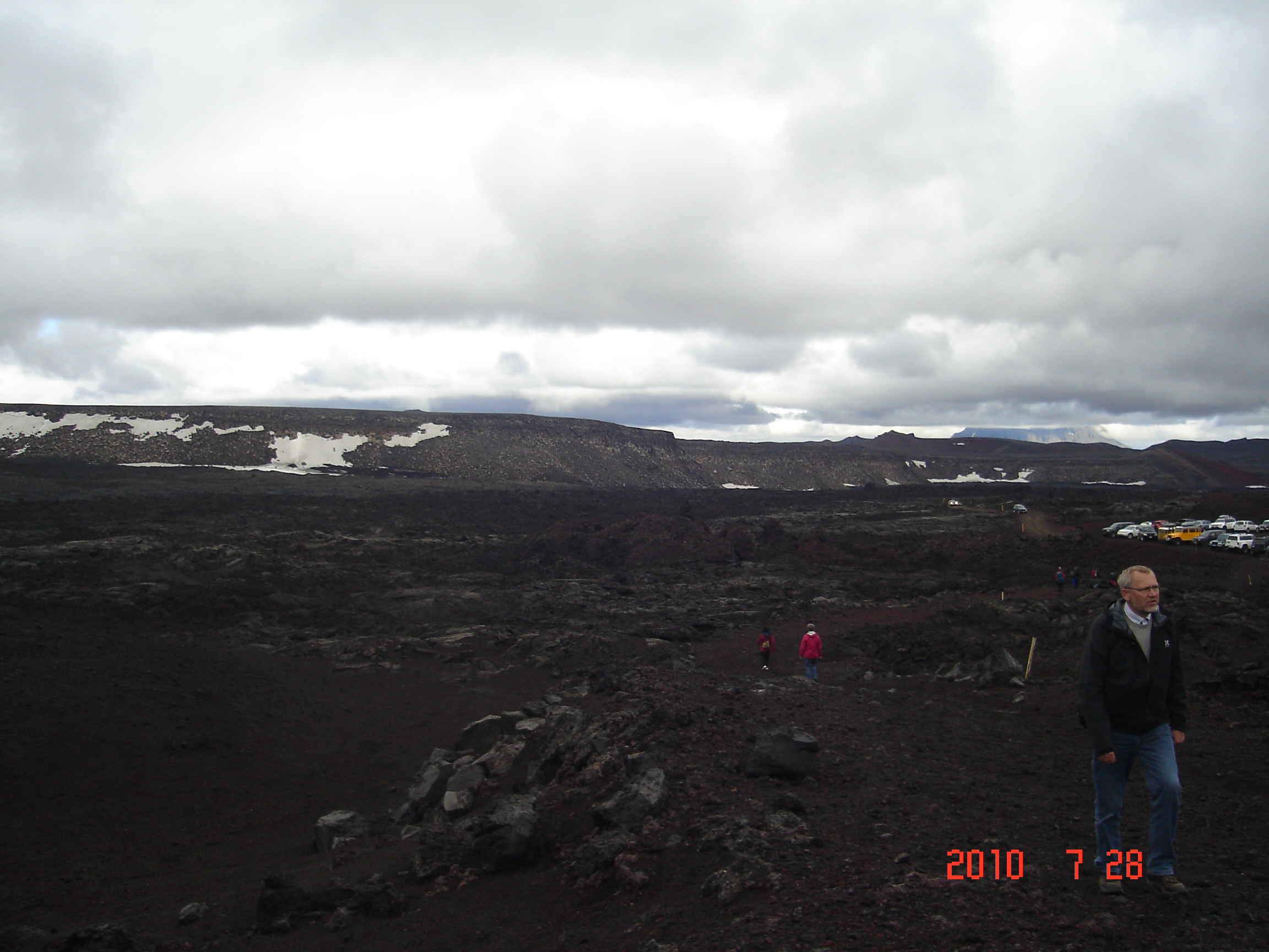
 Unfortunately we were late on the day we visited Askja, and the sky was covered by clouds just as a slight haze made the colours less shining. However, the landscape was still very impressive and the forces which made it beyound any understanding!
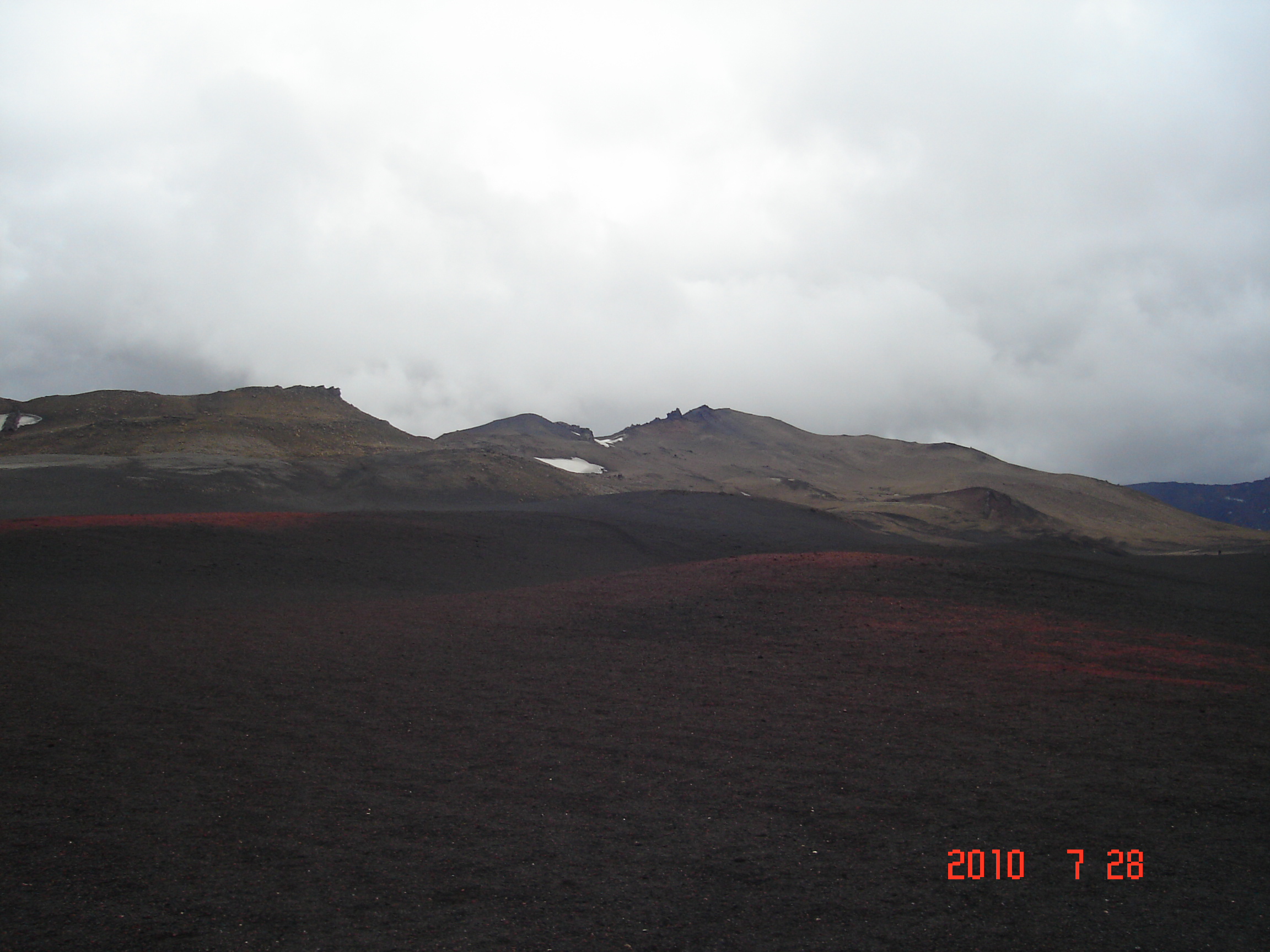
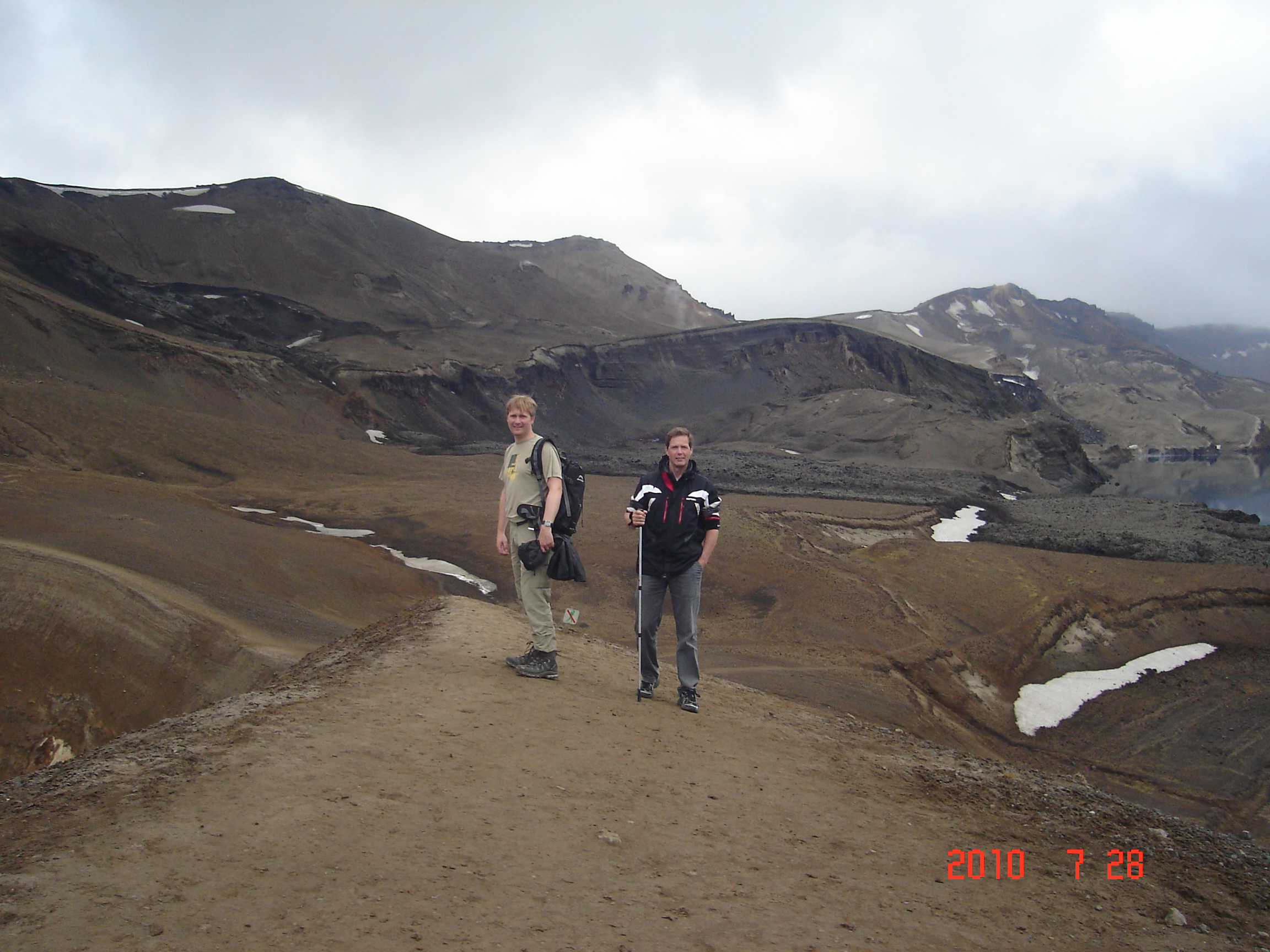
Askja is a stratovolcano situated in a remote part of the central highlands of Iceland. The name Askja refers to a complex of nested calderas within the surrounding Dyngjufjöll mountains, which rise to 1,510 m. The region is only accessible for a few months of the year. Being situated in the rainshadow to the NE of the Vatnajökull icecap, the area receives only about 450 mm of rainfall annually. The last eruption of the Askja was in 1961. The outer caldera of Askja, representing a prehistoric eruption, is about 50 km², and there is evidence of other later calderaforming events within it. The main crater floor lies at about 1,100 m.
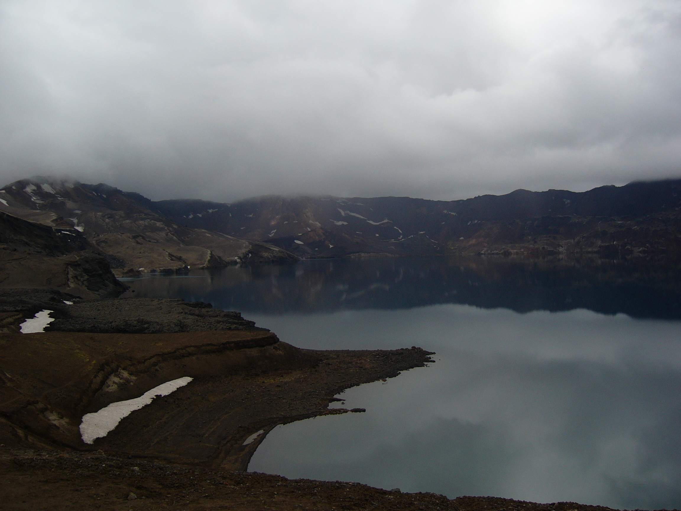
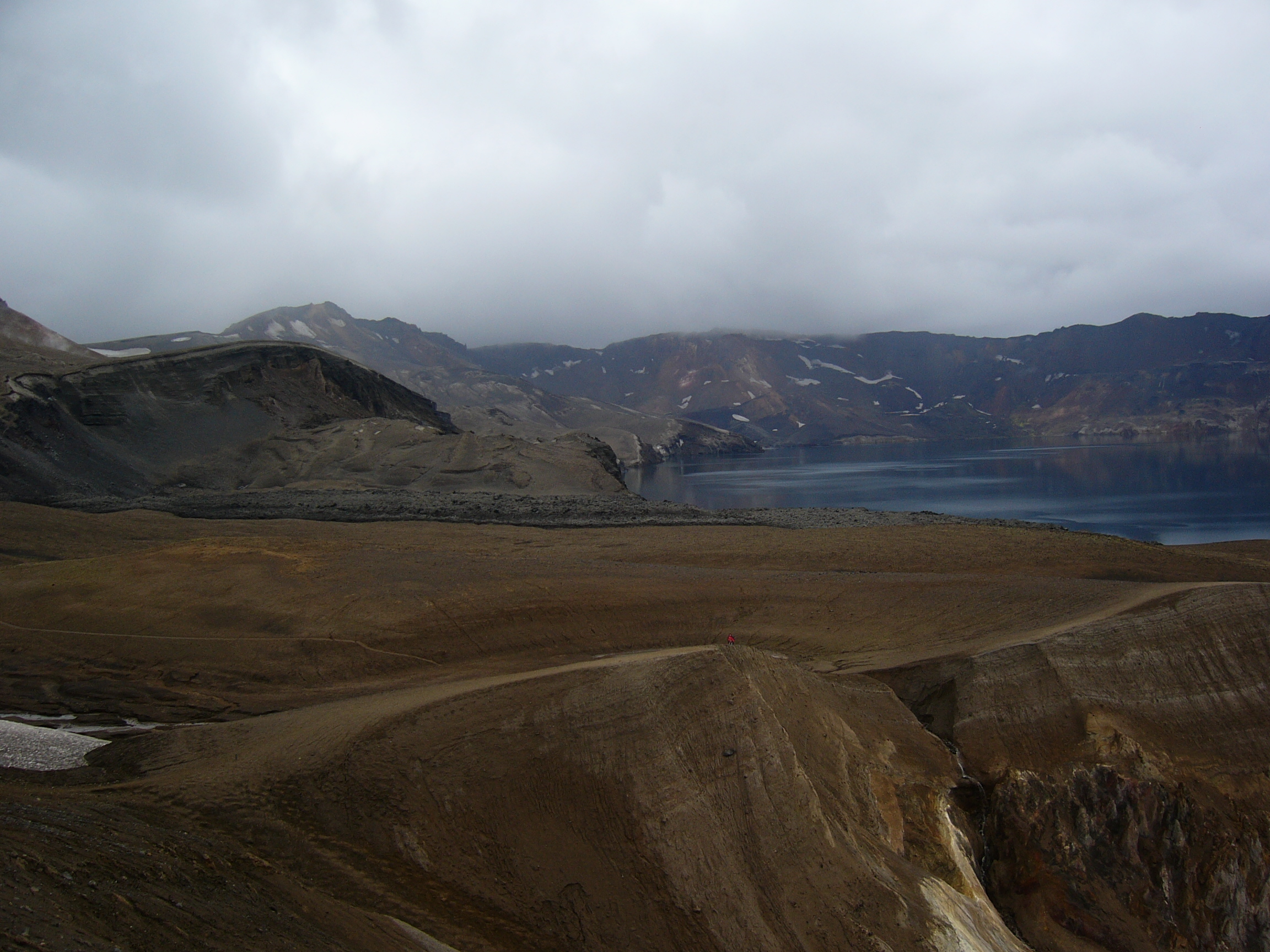
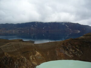
Öskjuvatn is a large lake that fills much of the smaller caldera resulting from the 1875 eruption. Its surface lies about 50 m below the level of the main crater floor and covers about 12 km². When the lake originally formed it was warm, but today it is frozen over for most of the year. Öskjuvatn is the deepest lake in Iceland at 220 m deep.
Víti is a smaller explosion crater on the north east shore of Öskjuvatn, approximately 150 metres in diameter. It contains a geothermal lake of mineral-rich, sulphurous, opaque blue water, which is maintained at a comfortable temperature for swimming. (Swimming in these craters is not a good idea because carbon dioxide can accumulate on top of the water. Víti was formed in the eruption of 1875.
In the Dyngjufjöll mountains which surround the Askja caldera can be found the impressive Drekagil, the canyon of dragons. Not far from Askja, there are two other interesting volcanic systems: Herðubreið and Kverkfjöll.